

Get in touch with us to start your obligation-free 3 months Free Trial. This will allow you to download and deploy a full function GEO-GRAPH node.
Configure the Zoning scheme to align with your byelaws. Provide building restrictions, consented uses, parking requirements and applicable Fees.
Upload your data, namely Billing and Land use data in CSV format. Align and validate data using GEO-GRAPH Configuration Studio.
Watch video based content to familiarize and train users. Capture and process Applications, lodge issues for resolution. If satisfied, Go Live!
A geo-spatial platform incorporating many digital technologies. It creates an environment for integrated services around complete Property Lifecycle Management, with a core system that integrates functions across multiple spheres of the government.
At GEO-GRAPH we are creating a collaborative platform for provision and consumption of government services by providing Direct Access to electronic services for the population. This is an essential trait of Web 2.0 because it reduces the cost of data capture and mistakes emanating from unfamiliarity with the data.
It is scalable to include all kind of rights to create a true visualisation of land and its attributes, GEO-GRAPH is an efficient repository of data and statutes in the Land Administration space. The system is available via hosted sites which are localised by tailoring them to the administrative structure and the statutory environment
Download Profile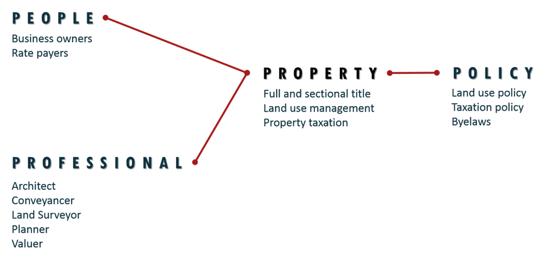
Some GEO-GRAPH applications require professional credentials for lodgement. Even during the processing Professionals are requested to make recommendations.
Land applications include generation and posting of Notices for community participation. Community members can lodge Objections online.
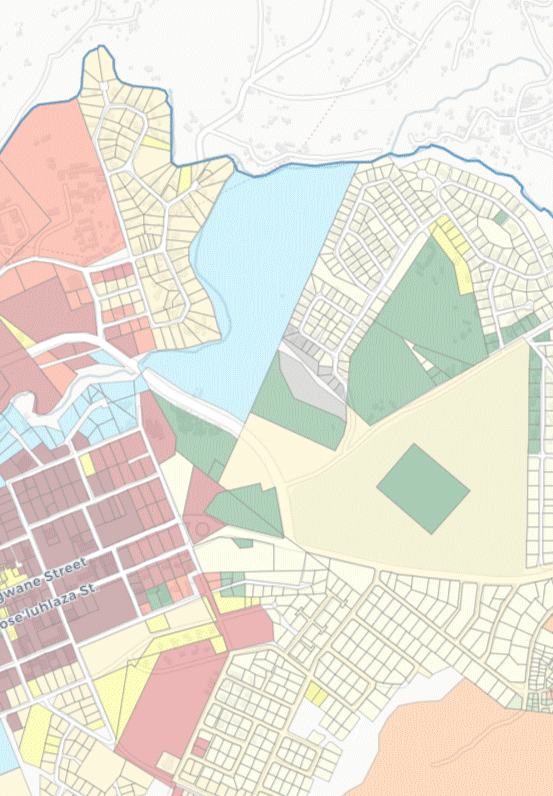
We work with local governments and provide secure Landuse Management solutions, aligned to their respective bye-laws and policies
Land is a valuable asset for any country and must be used judiciously, it must be accounted for perfectly. Maintaining survey, ownership and land use records is a daunting task spanning multiple cross-departmental business processes.
The municipal staff need to focus on their core functions rather than spend time on paperwork and customer interaction. To achieve this they require both Human and Financial resources to harness the ever increasing complex technologies.
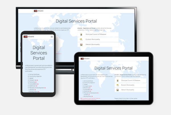
Portal for Public and Professionals to lodge GEO-GRAPH applications. Provides application tracking functionality.
Open Site
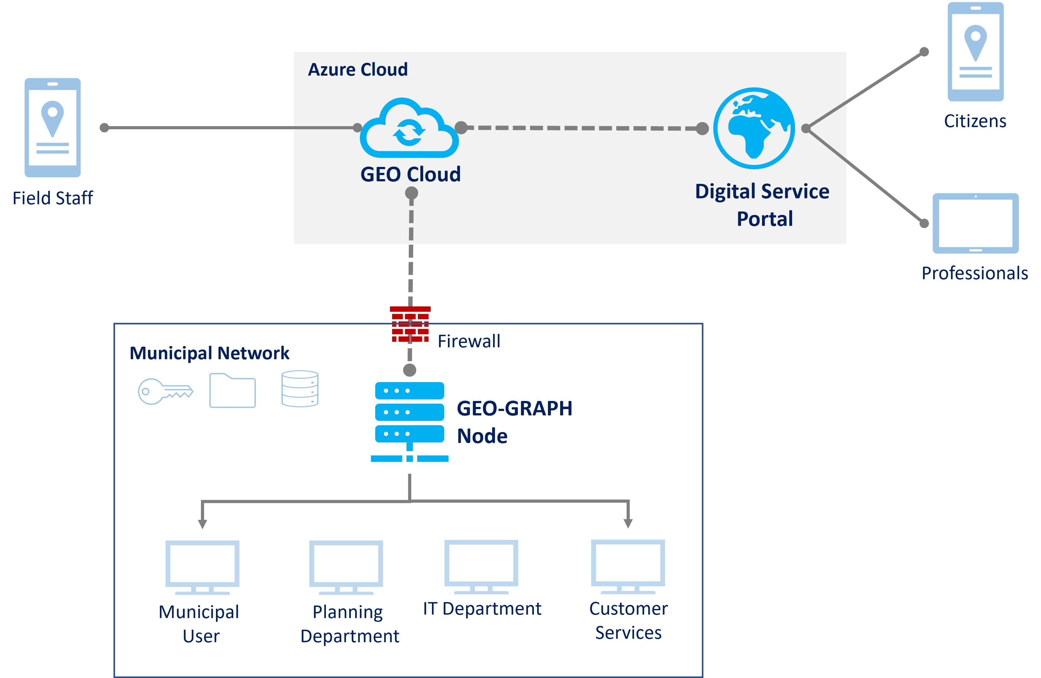
Serverless Azure functions, provide a robust, high-availibility, scalable, on-demand architecture.
Check Status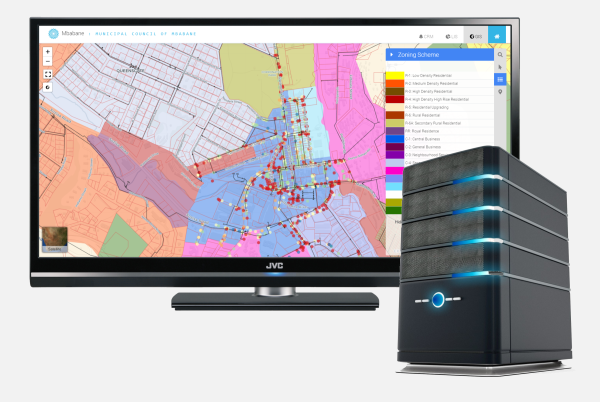
Onsite or Cloud based web application to prcess applications, view dashboards and access Landuse information.
View Tools