

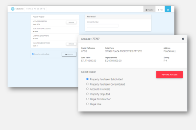
Search and View Property Record. Use this revoke or grant access to the Digital Services Portal.
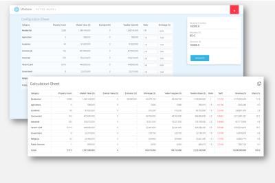
Target driven revenue simulation. Extract taxation rates for various categories.
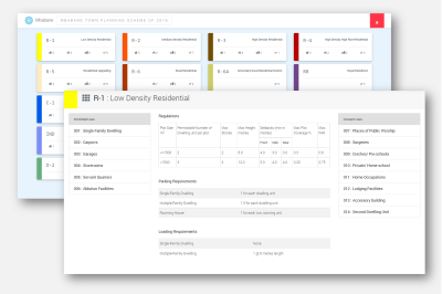
Viewer to see various Zone codes and their respective regulations.

Dashboard to view the current workload, process age and outcomes trend.

Dashboard to view share of land by Zoning, historical changes and Hotspots.

An standalone admin tool for Certified users to load and maintain master data.
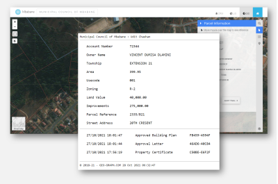
Restricted access tool to view Timestamped historical data for a record.
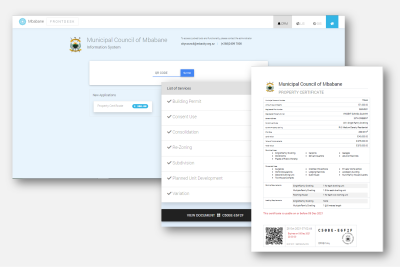
Scan or type the code on any GEO-GRAPH document, to open and view.
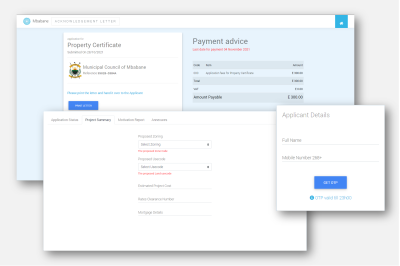
A tool for capturing applications for walk-in applicants at the municipality.

Load your inspection tasks and file Site inspection reports with pictures and GPS coordinates.

A feature rich Map Viewer to access information, and other layers published on GEO-GRAPH.
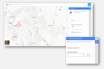
A Map viewer to access and fix broken refernces to billing and landuse information.